
One. What kind of place is Puna?
Puna is the eastern corner of Hawaiʻi Island, a wedge running from Kīlauea’s slopes down to the sea. It’s green, rainy and thick with growth, with papaya farms, small towns and houses scattered through the forest.
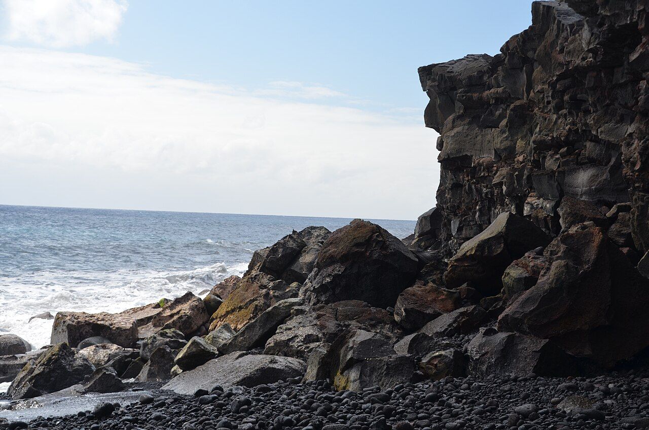
Then the trees break, and there’s the coastline: long, rocky and open to Pacific swells. The land sits on Kīlauea’s lower east rift zone, so lava isn’t a distant chapter here; it has repeatedly changed the ground beneath people’s homes and roads.
It’s lush and rough-edged, settled and newly made in places, and its beauty doesn’t cancel out the losses that came with the most recent eruption.
Two. What changed in 2018?
In May 2018, cracks opened in a residential area of lower Puna, and lava began pouring from a line of fissures. Over the following three months, one vent fed a river of lava toward the ocean, filling Kapoho Bay and burying the neighborhoods around it.
At the same time, magma draining toward the east brought a collapse at Kīlauea’s summit. By late summer, hundreds of homes had been destroyed, roads cut and farmland lost. Kapoho’s famous tide pools and a beloved warm, spring-fed pond were buried, too.
The eruption also built a large area of new land along the coast. New ground can look stark and remarkable, but it arrived where homes, familiar roads and pools had been. For the wider volcanic story, there’s a short history of the eruptions.

Three. Is 2018 the whole story?
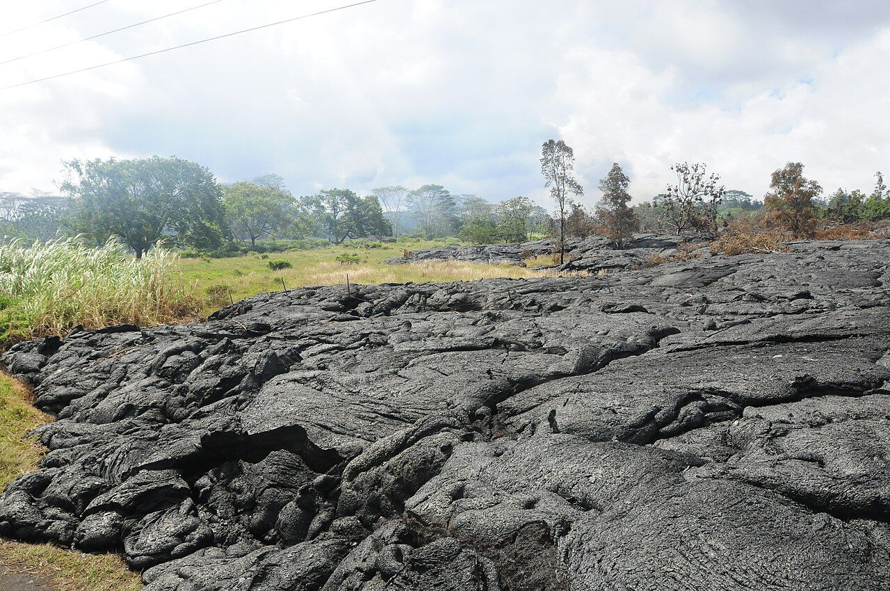
Not even close. A flow from the long eruption at Puʻu ʻŌʻō crept toward Pāhoa in 2014, crossing fields and roads before it stalled on the town’s outskirts. In 1990, flows buried the coastal community of Kalapana and its black sand beach at Kaimū.
Those earlier events give the coast a longer memory than any single visit can hold. The 2014 lava is a reminder that a flow can move toward a town and stop short; the loss at Kalapana shows how completely a community and shoreline can change.
There’s an older feeling in the forest and a sharper one where black rock meets the sea. The landscape isn’t scenery detached from daily life; Puna is home first, and the land’s changes have had real consequences for the people living here.

Four. What does the new beach at Pohoiki show?
One unexpected result of 2018 is the new black sand beach at Pohoiki, south of the new flows. When lava entered the sea nearby, it broke into fragments; waves ground those pieces down and carried them along the shore.
The sand gathered where rocky shoreline and a boat ramp had been. That is a striking change in a small stretch of coast: dark grains in place of hard rock, with surf working on a beach that wasn’t there before the eruption.
Black sand is volcanic glass and rock, and it heats quickly in the sun. The coast here has powerful surf and strong currents, so swimming belongs only in clearly calm conditions. Footwear makes sense on hot sand and rough ground, and sand, pebbles and lava rock stay where they are; taking them from Hawaiʻi’s beaches isn’t allowed and is deeply disrespectful.
Pohoiki has become a place to walk on fresh sand and watch the surf, but I’d rather remember the beach as part of a living shoreline than treat it as something to collect. Care belongs alongside the beach itself.
Read next: Reading Kīlauea with care
Five. What’s left along the coast road?
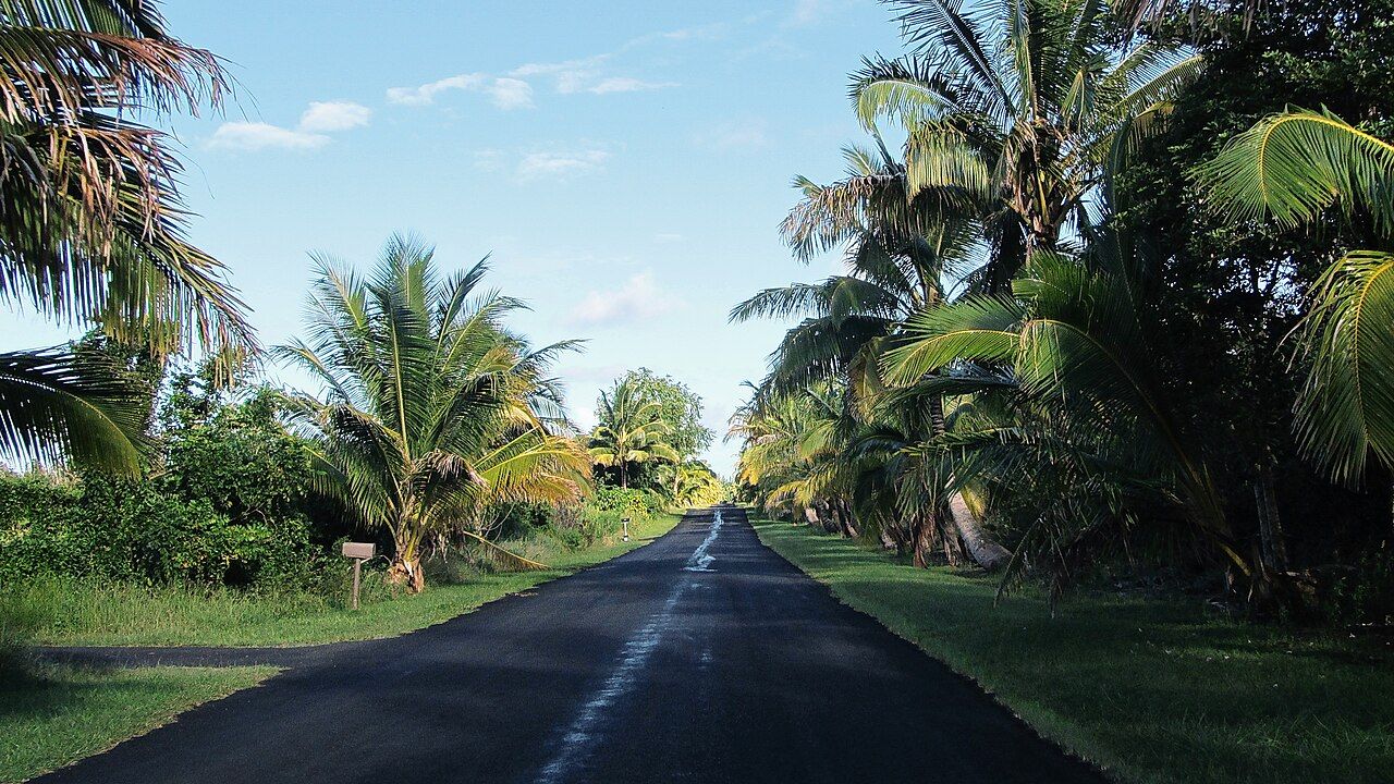
The coastal roads wind through forest and past lava fields, with the ocean appearing between the trees. Some old sections were buried in 2018; some roads have been rebuilt across the new flows, while others end at walls of black rock.
Much of the shore is rugged, with low black cliffs, boulder beaches and blowholes. White waves break against dark lava; older flows have ironwood trees and coconut palms growing around them, while newer rock can be bare and sharp.
From viewpoints, the meeting of lava and ocean is easy to read. The flows pile into cliffs and benches, and the sea keeps attacking their edges. Those edges can be undercut, and rogue waves can sweep higher than expected, so I’m happiest taking in the view from well back.
Six. Are there still pools to explore?
Kapoho’s famous tide pools are gone, and Puna has fewer easy places to snorkel than it once did. Small pools and protected spots still form along the coast, and warm, spring-fed pools have appeared in places, but their condition changes with tides and time.
That shifting quality suits this coastline, though it makes me fond of a simple rule: look closely without turning a pool into a playground. Don’t stand on coral or disturb animals, and use reef shoes where the bottom is sharp.
In small, enclosed water, sunscreen is best used sparingly or not at all. If a sea turtle appears, give it plenty of room; Punaluʻu and the turtles explains the distance rules.
Seven. How should a visitor move through lower Puna?
This isn’t a theme park of disaster. People live here, farm here and are still rebuilding after losing homes, land and livelihoods. Much of the new lava is private property, and walking onto it without clear permission is trespassing as well as dangerous.
The surface is sharp and uneven, and in places it’s still hot underneath. Staying on public roads, parks and beaches is the right way to see the coast; fences aren’t invitations, and damaged homes and residents aren’t subjects for photographs without permission.
Drive slowly through communities and park only where it’s allowed. Take rubbish along when leaving a beach. These are small gestures, but they matter in a place where families are still living with the eruption’s losses.
I like the ordinary scale of a respectful visit: a hello, produce from a roadside stand, and the understanding that this is someone’s home, not a backdrop. Keep off private land, ask nothing intrusive, and leave every grain of sand.
Eight. Where does the day lead?
Puna is about an hour from Volcano village, down through forest and across lowlands. Water and snacks belong in the day’s simple kit, since services are thin along the coast.
The route and shoreline tell a story without tidying it up: land made by lava, land lost to lava, and a community carrying on among both. For a look toward the town on the far side of Puna, continue with Hilo.
- Wear footwear on hot sand and sharp or uneven ground.
- Bring water and snacks; services are thin along the coast.
- Stay on public roads, parks and beaches, and take rubbish with you.
- Keep well back from cliff edges and lava benches.