
1. Why does the map make the island seem smaller?
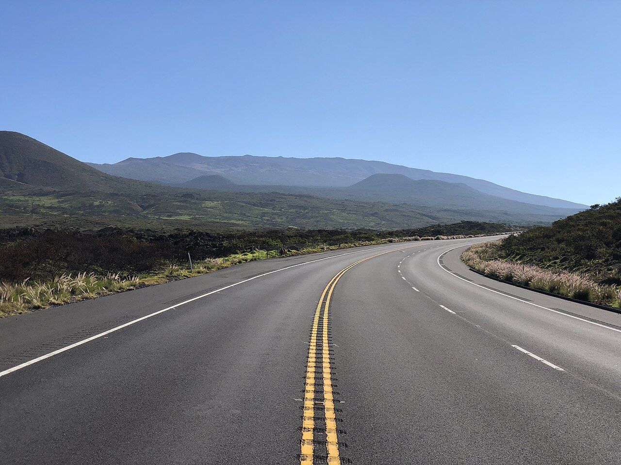
How much land can a single island hold? Hawaiʻi Island is the youngest and largest in the chain, with more area than all the other main Hawaiian islands combined.
From Volcano’s wet forest, the drive can reach Hāmākua’s green gulches, cattle country in the north, dry lava on the Kona side, and Kaʻū’s open, windswept stretches. The landscape keeps changing, even when the road simply keeps going.
The circuit adds up to roughly 360 kilometres, or about 225 miles, and that’s without stopping. The full loop is a long day behind the wheel; seeing the island properly takes longer, and I’d much rather leave room for the places between the destinations.
2. Which roads make the loop?
Highway 11 leaves Hilo, passes Volcano and the national park, then continues through Kaʻū toward Kailua-Kona. From there, Highway 19 travels north along the dry west coast, reaches Waimea, and returns toward Hilo along Hāmākua.
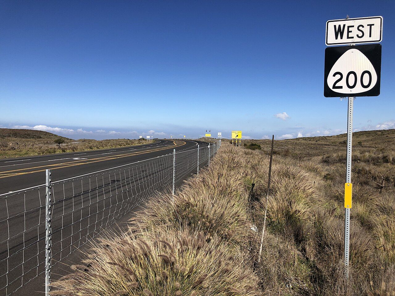
Route 200—the Daniel K. Inouye Highway—cuts across the island’s middle, passing through the high saddle between Mauna Kea and Mauna Loa. For many trips between Hilo and the Kona side, it’s the quickest way across; the southern route takes longer.
These are approximate times for the drive, without stops and in good conditions. I use them to get a feel for the distances, not to cram the day into a tight schedule.
| Route | Approximate time |
|---|---|
| Hilo to Volcano village | About 45 minutes |
| Volcano to Punaluʻu | About 40 minutes |
| Volcano to Kailua-Kona via Kaʻū | About 2.5 hours |
| Hilo to Kailua-Kona via the saddle | About 2 hours |
| Hilo to the Waipiʻo lookout | About 1 hour 15 minutes |
Rain, roadwork, slow trucks and stops all stretch the estimates. That’s part of the drive, and a reason I like planning with generous space rather than trying to make every mile count.
3. What does the Saddle Road cross?
The old road had a rough reputation, and many rental agreements once barred it. Route 200 has since been rebuilt and realigned as a modern highway, though the familiar name Saddle Road still gets used.
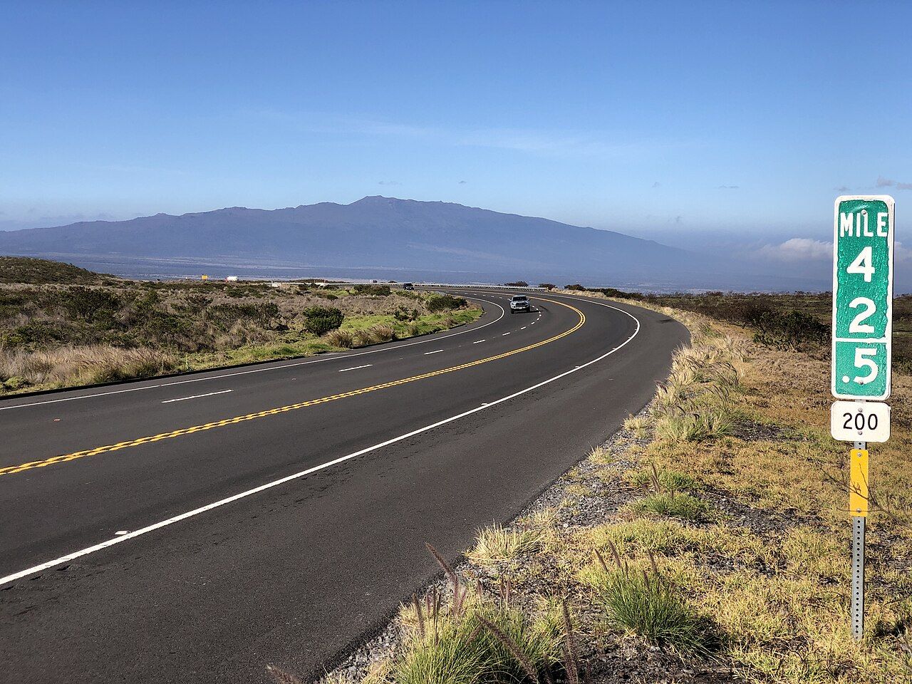

The road rises to about 2,000 metres, or around 6,600 feet, between the island’s two great volcanoes. Clear weather opens a view toward Mauna Kea in the north and Mauna Loa’s long dome in the south, with lava flows between them.
Cloud and fog can arrive at any hour, shrinking visibility to a few car lengths. The change can be striking: open views one moment, then a close gray wall along the road.
There’s no fuel along the saddle, so the places to fill up are Hilo, Waimea or the Kona side. The air is cooler at that elevation, and I keep a warm layer in the car.
Military training land borders part of the highway; side roads aren’t for exploring, and signs give the limits. Cyclists, cattle and the occasional nēnē can be along the roadside, too.
Near the saddle’s highest point, an access road branches toward Mauna Kea and its night sky.
Read next: Waipiʻo from above: why the rim is enough
4. Where do services thin out?
Hilo and the Kona side have plenty of services, but the spaces between them are a different story. Volcano village has limited options, and Kaʻū has only a few gas stations in its small towns.
Long stretches of the southern route and the saddle have no fuel. I like the simple habit of filling up in a larger town whenever the chance comes along, instead of waiting until the gauge is low.
Water and snacks are handy for the drives through Kaʻū and across the saddle. Phone signal disappears in parts of the national park, along the south coast and in some valleys, so an offline map is useful there.
That gap in coverage changes the feel of the road: a map on the phone may stop loading just when the next turn matters. Downloading one for offline use before setting out solves that particular problem.
5. What’s different about driving after dark?
Outside towns, most roads have no street lighting. Rain and fog can blur the view, while black lava seems to swallow the headlights; animals may wander across, including cattle, wild pigs, goats and nēnē.
The endangered Hawaiian goose is easy to hit at dusk. I dislike that part of driving after dark most: a road can look empty, then an animal appears close to the car.
Some visitors drive into the park at night hoping to see glow from an active eruption. The road still calls for slow driving, the speed limits and attention to people walking along it.
Fog can also hang over the descent after a late drive home from Mauna Kea. And even in daylight, a stretch of open grassland can feel very different once weather moves across it.

6. What should the rental terms and road manners cover?
Rental agreements often restrict particular roads. The examples here include the summit road above the Mauna Kea visitor station, the steep road into Waipiʻo valley, and rough tracks near the green sand beach at South Point.
Damage on a restricted road may not be covered, so those terms shape which routes are sensible in a rental car. The island’s speed limits are lower than many visitors expect, and local drivers tend to move at an easy pace.
At a one-lane bridge, give way to a car already on the bridge or follow the signs. If a line of cars forms behind on a winding road, pull over where it’s safe and let them pass.
Photographs can wait for a pull-out; stopping in the road gets in the way. Seat belts are required, as is hands-free phone use, and drink driving is treated seriously.
7. How would I break up a drive from Volcano?
I wouldn’t try to circle the island in one day. A morning on the Chain of Craters Road, an afternoon in Kaʻū with the turtles and South Point, and another day for Hāmākua and Waipiʻo make a more comfortable plan.
For many trips between Hilo and the Kona side, Route 200 is the faster crossing. The southern way through Kaʻū takes longer, but passes the park and some of the island’s quietest coast; I like that route when the day has room for it.
Weather belongs in the plan, too. The story on rain, cold nights and what to pack fits naturally beside these drives, particularly when the route climbs into cooler air.
8. What belongs within reach?
The long spaces between towns make a few basics worth keeping close. I’d rather have them ready in the car than discover I wanted them halfway across the saddle.
- A full tank before the saddle or long southern stretches.
- Water, snacks and a warm layer for the high road.
- An offline map for areas with weak or absent phone signal.
- Extra time for rain, roadwork, slow trucks and stops.
Route 200 is my favorite crossing, especially where the land opens between the volcanoes.